Vallone di Loo: A Hike Through Alpine Pastures, Walser Villages and High-Altitude Meadows
The Vallone di Loo is a hike with over 1,100 metres of elevation gain, leading through ancient alpine pastures and Walser settlements in the Aosta Valley. But what is the place that leads many hikers to linger here longer than expected?
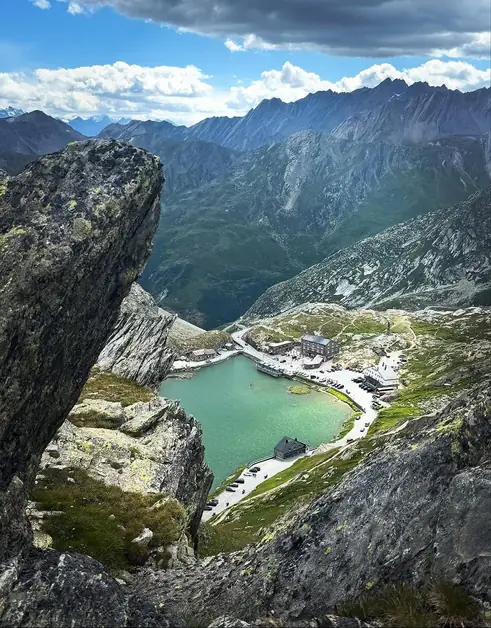
The Vallone di Loo isn't your typical peak-conquering trek. If you're after spectacular ridges, alpine lakes, or postcard views every ten minutes, other hikes might suit you better. This trail is perfect for those who love walking in a valley with its original charm. It's full of pastures, meadows, and small Walser settlements.
To reach Vallone di Loo (Gressoney-Saint-Jean), you can park your car in a large free parking area at Steina.
The hike starts from Loomatten, a part of Gressoney-Saint-Jean where you can still see typical Walser buildings. The first few kilometers are the toughest. The trail climbs through the woods, covering most of the day's 1,100-meter elevation gain. There aren't any particular technical challenges, but the initial climb requires some fitness. This section follows the slope among larches and firs, crosses small wooden bridges, and runs alongside streams, with the sound of water accompanying your walk.
Once you leave the woods, the trail crosses meadows bordered by stone walls and passes old alpine pastures scattered in the valley. The climb continues but without the initial steepness. Ahead, you start to see the buildings of Loo Superiore. From a distance, they almost blend with the terrain and surrounding pastures. As you climb higher, trees become sparse, with wide grassy areas interrupted by rocky outcrops, stone enclosures, and small clusters of buildings related to pastoral activities.
The first time I saw the village, I was struck by this aspect. There's no refuge built to attract hikers, just a small group of buildings that seem to belong naturally to the valley. The stone walls, meadows, and chalets create a scene quite different from more popular alpine spots. Just before arriving, you encounter several terraces bordered by dry stone walls, reminding you of the importance of agriculture and pastoral work in this part of the valley.
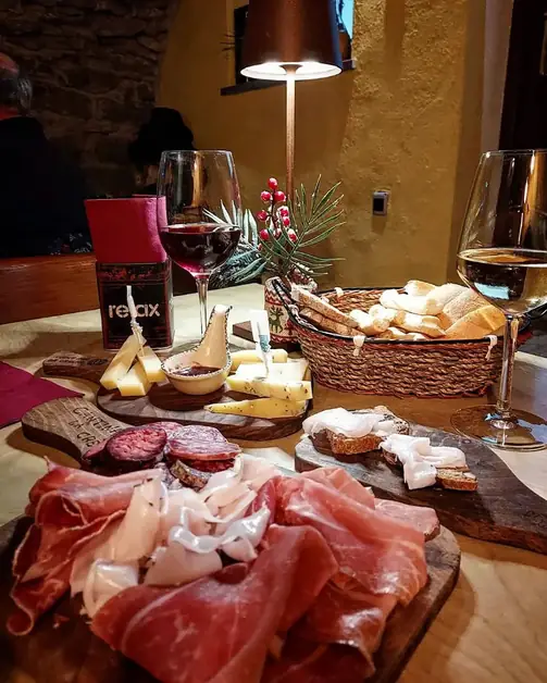
At Loo Superiore, you'll find Agriturismo Bléckéné, converted from an old pasture. It's my favorite spot on the hike. Not just for the lunch, but for the overall atmosphere. Run by Simone, Davide, Greta, Andrea, and Rino, who takes care of the animals, it truly feels like a place where mountain life retains its old rhythm.
The food is excellent, and for those wanting to stay longer, there's a simple but cozy dormitory for overnight stays. Personally, I think Vallone di Loo is best appreciated by spending a night here, rather than just going up and down in a day.
From the agriturismo, you can see most of the valley climbed earlier. This small group of buildings is centrally located among the surrounding pastures. Here, the silence is real, broken only by animals and the wind. No background music, no colorful umbrella tables.
If you want to extend the hike, continue for about an hour to Colle di Loo. Or, you can detour to Colle di Lazoney and then descend to Niel.
Personally, I found staying at Loo Superiore more interesting than continuing to the pass. If you decide to go on, the landscape changes noticeably. Meadows gradually give way to rockier terrain and steep rocky slopes typical of the upper valley. Near the pass, you'll find a distinctive stone cairn used by hikers as a landmark. From here, you can see the surrounding mountains and the long valley you traveled to get here.
Who I Recommend the Vallone di Loo To
I recommend it to families used to mountain walking who prefer historic valleys over the more famous spots in Valle d'Aosta. It's a hike for those wanting to spend a day in an environment still tied to traditional mountain activities.
I don't recommend it to those looking for a short walk or little elevation gain. The approximately 1,100 meters of ascent require a day and some physical preparation.
Practical Information
Start: Loomatten (Gressoney-Saint-Jean)
Length: 8.2 km
Positive elevation gain: 1,100 m
Negative elevation gain: 1,100 m
Difficulty: E
Minimum altitude: 1,349 m
Maximum altitude: 2,451 m
Estimated ascent time: 3 hours and 30 minutes
Recommended period: May to October
For those wanting to learn more about the Valle del Lys.