Unmissable hikes in the Saint-Barthélemy valley
The Saint-Barthélemy valley offers hikes for all levels, immersed in nature.
What is the Saint-Barthélemy valley?
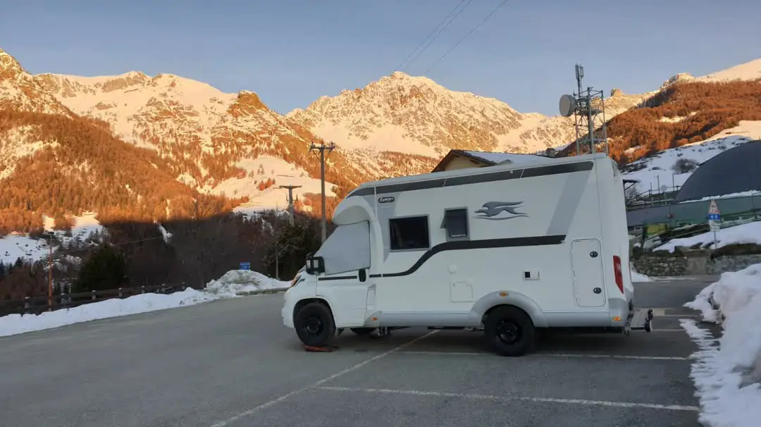
The Saint-Barthélemy valley, in the municipality of Nus, is a small paradise for nature and trekking lovers. Located between Valtournenche and Valpelline, this side valley of Aosta Valley offers hiking trails for all levels, from simple panoramic walks to more challenging routes leading to refuges and alpine passes over 2,500 meters.
What trails are available in the valley?
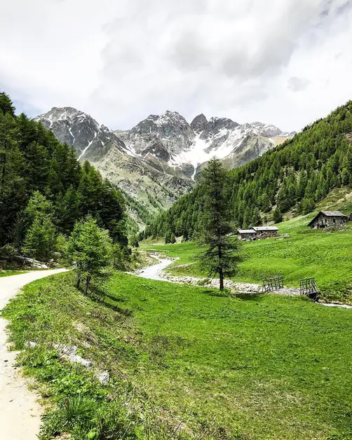
The trails start directly from the valley floor or from locations such as Lignan, Porliod, and Praz, and many of them connect to the Alta Via n. 1, one of the most famous hiking routes in the region. The landscape alternates between larch and fir forests, alpine pastures, and snow-capped peaks, with a spectacular view of Monte Emilius, Becca di Luseney, and the Matterhorn in the distance.
What easy paths are available?
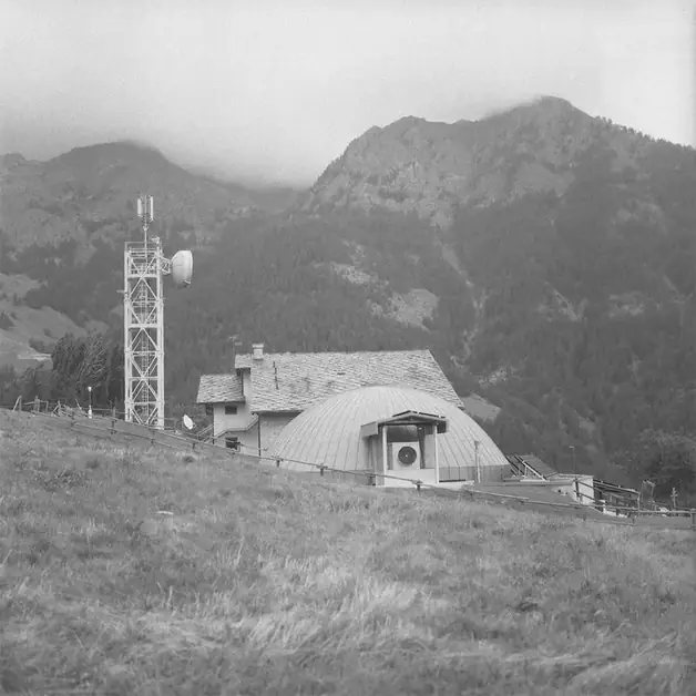
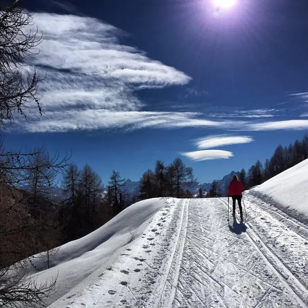
Trail n. 11B (departure from the Nordic Ski Center) One of the most frequented routes is trail n. 11B, which starts from the Nordic Ski Center of Praz de l'Arp, just above Lignan. The hike lasts about 2 hours and 20 minutes, with a moderate elevation gain and wide views of the valley. The trail crosses meadows and woods and reaches the Col du Salvé (2569 m), an ideal viewpoint for taking photos and resting. It is also perfect for families and less experienced hikers.
What does the Giro del Monte Morion offer?
This loop trail develops around Monte Morion, above Nus. It is a panoramic and relaxing itinerary, ideal for a day trip. The route passes near a refuge under renovation and allows you to admire a wide view of the Central Valley and the peaks of the Aosta Valley. The duration varies from 3 to 4 hours depending on the starting point.
What is the hike to Becca d’Aver?
The hike to Becca d’Aver is another easy loop trail, with about 800 meters of elevation gain. The trail is also recommended for families and offers a 360-degree panorama of the valley and surrounding mountains. On clear days, the view extends to Monte Rosa and the Matterhorn. In spring and early summer, the meadows along the route fill with alpine flowers and small streams.
What are the medium difficulty paths?
Itinerary Lignan – Tsa de Fontaney – Col du Salvé This medium difficulty route starts from Lignan (1633 m) and follows trail n. 11 to Col du Salvé (2569 m). The average travel time is 3 hours and 25 minutes, with an elevation gain of about 900 meters. The route crosses pastures and alpine meadows, offering beautiful views of Becca del Merlo and the valley below. It is a highly appreciated itinerary in summer when the meadows are in bloom and herds grazing animate the landscape.
How to reach Rifugio Magià?
Another must-see destination is Rifugio Magià (2007 m), reachable from Porliod or Praz. The trail gently climbs for about 1.5-2 hours, crossing coniferous forests and mountain streams. The refuge is a cozy rest point where you can enjoy typical Aosta Valley dishes such as polenta concia and bread and cheese soup. From here, you can continue towards Monte Morion or Alta Via n. 1 for a longer and more panoramic hike.
What to know about the hike to Tsa de Fontaney?
This itinerary starts from Porliod and heads towards Tsa de Fontaney, an ancient alpine pasture still in use. The route, about 2 and a half hours long, is suitable for those who want to walk in an authentic environment, among pastures and streams. During the walk, you can observe marmots and birds of prey, while the snow-capped peaks of Monte Emilius and Becca di Luseney rise in the background.
What are the challenging paths for experienced hikers?
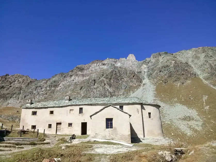
Towards the Sanctuary of Cunéy One of the most fascinating hikes in the valley leads to the Sanctuary of Cunéy (2696 m), the highest Marian sanctuary in Europe. You start from Porliod (1890 m), following trail n. 11B to Col du Salvé, and then continue along Alta Via n. 1 to the sanctuary. The route requires 3 and a half to 4 hours of walking and good training. Along the ascent, the panorama becomes increasingly spectacular: larches, pastures, and finally the silence of the rocks and snowfields. In summer, the chapel and the adjacent refuge welcome pilgrims and hikers.
What does the traverse Porliod – Monte Morion – Rifugio Cunéy entail?
This is a challenging loop itinerary, recommended for experienced hikers. You start from Porliod, reach Monte Morion (2714 m), and then descend towards Rifugio Cunéy, from where you return via Alta Via n. 1. The total duration is about 6-7 hours with an elevation gain of over 1000 meters. The route offers breathtaking views of the Pennine Alps and a strong sense of isolation and freedom.
What is the importance of Alta Via n.
1?
The Saint-Barthélemy valley connects directly to Alta Via n. 1, which crosses the Aosta Valley from Courmayeur to Donnas. Hikers can traverse some sections to admire the valley's landscapes or use it as a stop on a multi-day trek. The main connections start from Lignan and Porliod. Along the route, you encounter exceptional viewpoints, with altitudes exceeding 2700 meters.
What are the tips for trekking enthusiasts in Saint-Barthélemy?
Best period: from June to October, when the snow is melted and the trails are easily passable. In spring, it is possible to find still snowy sections at high altitude.
What equipment is recommended?
Equipment: trekking boots, layered clothing, trekking poles, and water. At high altitude, temperatures can change rapidly.
How are the trails marked?
Signage: all trails are well marked with yellow signs and identifying numbers (11, 11B, Alta Via 1).
What safety precautions should be followed?
Safety: in case of thunderstorms or fog, it is better to avoid the most exposed sections. The Magià and Cunéy refuges are excellent shelter points.
Why visit the Saint-Barthélemy valley?
The Saint-Barthélemy valley is a place where the mountain is still real and silent. Here you can walk for hours immersed in the scents of the woods and the sound of streams, with views that seem painted. It is the perfect destination for those seeking panoramic hikes, unspoiled nature, and the sense of freedom that only the Aosta Valley Alps can offer.