Unmissable hike from Col de Joux to Col Tzecore
Explore the hike from Col de Joux to Col Tzecore, an easy and scenic route suitable for everyone.
Where does the walk to Col Tzecore start?
The starting point for this hike is Col de Joux, easily reachable in about 25-30 minutes by car from Saint-Vincent. The road that climbs is panoramic and well-paved, crossing woods and offering splendid views of the central valley. Once at the pass, there is a large dirt parking area where you can comfortably park your car. Here, at an altitude of 1,640 meters, the trail number 107 begins, an integral part of the famous Gran Balconata del Cervino.
How does trail number 107 start from Col de Joux?
With your back to Brusson, the trail starts on the left side of the parking area and immediately enters a dense coniferous forest. The walk is pleasant, with gentle slopes and a regular surface. You cross larches and firs, while in the more open stretches you can see enchanting views of the surrounding mountains. The scent of resin and the song of birds accompany every step, creating an atmosphere of calm and nature.
What do you encounter along the initial path?
The trail cuts across the ski slopes of Col de Joux, which in winter are animated by skiers and in summer become green grassy expanses. In some places, panoramic views open up towards the central valley and the mountains of the Monte Rosa range. The path is flat and suitable for everyone, including families with children or less experienced hikers.
How long does it take to reach Sommarèse?
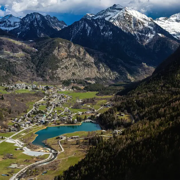
After about an hour of leisurely walking, you reach Sommarèse, a small hamlet of the municipality of Emarèse. The village is immersed in tranquility, surrounded by woods and flowering meadows. The stone and wood houses tell the alpine tradition, and the atmosphere is relaxed and authentic. It is a great place to take a short break, have a sip of water, or simply admire the view.
How do you continue from Sommarèse to Col Tzecore?
From Sommarèse, you continue along a stretch of paved road that climbs towards the pass. The ascent is gentle and regular. After a few minutes, on the left, you find the detour that leads back to trail number 107. The path re-enters the woods, offering shade and coolness even on summer days. In this stretch, the vegetation is lush, and there are sudden viewpoints that open up between the trees.
What is found upon arrival at Col Tzecore?
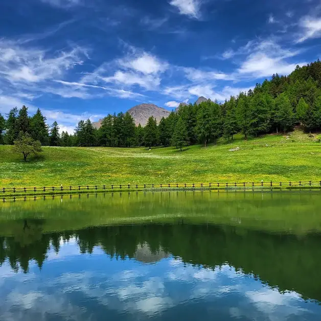
After about another hour of walking, you reach Col Tzecore, located at an altitude of 1,620 meters. Here you will find a large picnic area equipped with tables, fountains, and green spaces, perfect for a stop or an outdoor lunch. During the summer, the area is very popular with families, hikers, and cyclists who travel the scenic road coming from Emarèse or Brusson. The environment is quiet and breezy, with a splendid view of the central valley and the ridges of Mont Avic and Mont Nery.
What kind of panorama can be admired from Col Tzecore?
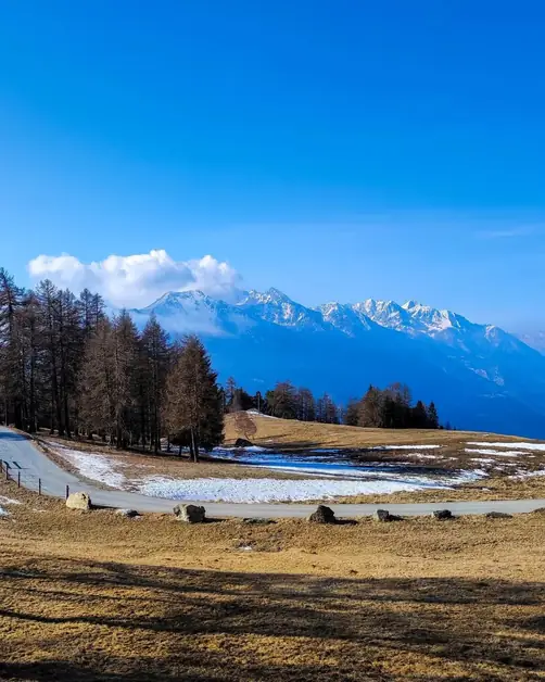
From the pass, the view is truly wide. To the south, you can see the central valley with the towns of Montjovet and Verrès, while to the north, the mountains of the Val d'Ayas stand out on the horizon. On clear days, the snow-capped peaks of Monte Rosa and Cervino can be distinguished. The feeling is that of being on a natural balcony suspended between two valleys, dominating a 360-degree panorama.
What is the overall difficulty of the hike?
This is an easy route, free of technical difficulties and suitable for everyone. The total elevation gain is about 300 meters, and the walking times vary between two and two and a half hours, depending on the pace. The trail is well marked, with numerous signs indicating number 107 and the main directions. Even families with children can tackle it without problems.
What are the best times to take this walk?
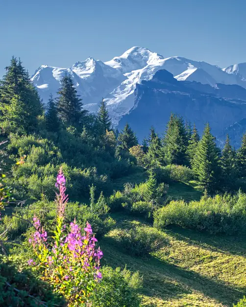
The ideal period is from May to October, when the trails are free of snow and the weather is mild. In spring, you can enjoy the flowering of the meadows, while in summer the shade of the woods makes the walk always pleasant. In autumn, the colors of the larches and leaves transform the landscape into a painting of golden tones.
Are there water points or rest areas along the way?
Yes, both in Sommarèse and at Col Tzecore there are fountains with drinking water. Along the route, there are also several points where you can stop to rest or have a picnic. The areas are quiet and immersed in nature, perfect for relaxing before heading back along the same trail.
What makes this itinerary special?
This route combines the beauty of the alpine landscape with the simplicity of a trail suitable for everyone. You walk immersed in the woods, amidst the silences and scents of the mountains, with the constant presence of spectacular panoramas. The itinerary Col de Joux – Sommarèse – Col Tzecore represents one of the most enjoyable and accessible hikes in the Aosta Valley, ideal for those looking for a day outdoors in nature without facing long efforts.
Is it possible to return to the starting point along a loop trail?
Yes, for those who wish to vary the return, from Col Tzecore it is possible to descend for a short stretch along the paved road and then deviate onto some secondary trails that lead back to Sommarèse and then to Col de Joux. Alternatively, you can simply retrace trail 107, enjoying once again the tranquility of the forest and the views of the Aosta Valley mountains.