Trail numbering in Aosta Valley for orientation
The numbering of trails in Aosta Valley is essential for orientation and planning hikes.
Why are the trails in Aosta Valley numbered and what is the purpose of the numbering?
The numbering of trails in Aosta Valley is essential for navigating among mountains, shelters, and valleys. Each trail has a number that allows it to be recognized, the correct path to be followed, and information to be found on maps and hiking apps. The numbers also help in planning stages, estimating times, and communicating one's position in case of emergency. The numbering is not random: it follows a precise logic decided by the Aosta Valley Region, which organizes the paths based on their importance and tourist function.
How are the numbered trails classified in Aosta Valley?
In Aosta Valley, trails are divided into three main categories: local trails, High Routes, and national or international itineraries. Each has its own numbering and signage system.
What are local trails and how can they be recognized?
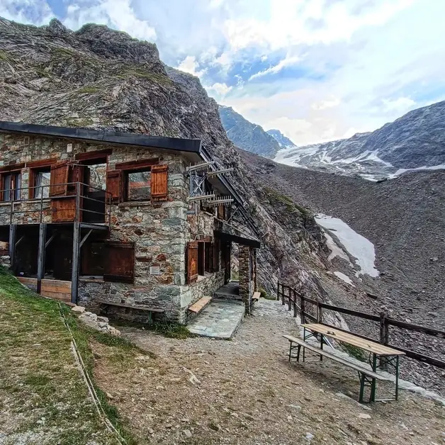
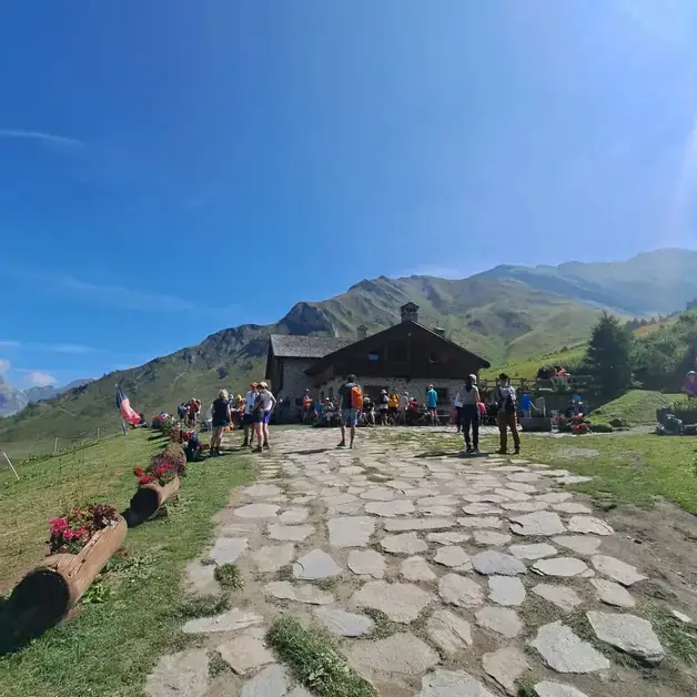
Local trails are the closest to towns and villages. They serve to reach alpine pastures, lakes, hills, or shelters in a day. They are perfect for short or moderately difficult hikes and represent the heart of the Aosta Valley hiking network. These paths are marked by simple Arabic numbers (3, 7, 16, 21...) and by wooden or metal signs indicating the number, destination, and travel time.
Can you give an example of a numbered trail in Aosta Valley?
An example is Trail 16, which goes from La Salle to Col de la Croix. It is a scenic route with views of Mont Blanc and the Valdigne. On the signs, you can see the number 16, along with the altitude and duration. By entering "Trail 16 Aosta Valley" on apps like Outdooractive, Komoot, or Maps3D, you can quickly find maps, photos, and descriptions.
Who uses local trails and what advantages does numbering offer?
Local trails are chosen by families, beginners, and hikers who want to walk without difficulty. The number simplifies orientation: it is enough to remember it to easily find the path on a map or communicate it to rescuers. The numbering also allows for identifying the trails most suitable for one's level.
What are the High Routes and how are they numbered?
The High Routes are the long-distance paths that cross the entire Aosta Valley. They are ideal for those who love multi-day trekking among shelters and alpine views. The two most famous are: High Route 1 (called the Giants' Way), marked by the number 1 or the Roman numeral I. High Route 2 (called the Gran Paradiso Way), marked by the number 2 or II. Both are signposted with yellow signs with red writing and colored dots along the route.
What are the characteristics of High Route 1, called the Giants' Way?
High Route 1 connects Donnas to Courmayeur, crossing the northern arc of the region. It is called the "Giants' Way" because it runs at the foot of the great 4000s: Monte Rosa, Cervino, and Mont Blanc. It stretches for about 150 km and can be completed in 7-12 daily stages. Along the way, there are many intersections with numbered trails (like 3, 5, 16), allowing for deviations or connections to shelters and towns.
How does High Route 2 differ?
High Route 2, or Gran Paradiso Way, crosses the southern part of Aosta Valley, passing through valleys like Valgrisenche, Valsavarenche, and Cogne. It is also about 150 km long and is marked with the number 2. It is an ideal itinerary for those who want to discover the wild nature of the Gran Paradiso National Park.
Who travels the High Routes and why is numbering useful?
The High Routes are dedicated to experienced hikers and those who wish to experience an adventure in stages. The uniform numbering helps maintain orientation even when crossing different municipalities or valleys. Knowing that you are on the "High Route 1" or "High Route 2" means being able to rely on an official and well-marked trail.
Are there also international trails in Aosta Valley?
Yes, Aosta Valley is crossed by European itineraries like the E5 or the High Route of the Alps. These paths are integrated with the Aosta Valley numbering but also feature symbols or letters to indicate their belonging to the international hiking network.
How to read the numbers and symbols on trail signs?
Arabic numbers (1, 3, 16, 25) indicate local or regional trails. Roman numerals (I, II) refer to the High Routes. Letters or abbreviations (A, T, V) identify thematic loops or variants. This information is always accompanied by indications on times, elevation gain, and destination.
Where can you find information about the trail numbers in Aosta Valley?
Information can be found on: Hiking signs placed at every intersection or starting point. Official regional maps, available for purchase at tourist offices. Printed hiking guides organized by trail number. Websites and apps like lovevda.it and sird.lovevda.it, as well as Outdooractive, Komoot, and Wikiloc.
What are the main advantages of trail numbering for tourists?
Simple orientation: knowing which trail you are on avoids mistakes. Safety: in case of emergency, communicating the trail number speeds up rescue efforts. Planning: the numbers facilitate the creation of personalized itineraries. Uniformity: the numbers remain the same even when crossing from one valley to another. Tourist promotion: numbering enhances the territory and makes the hiking network accessible to everyone.
How does trail numbering enhance Aosta Valley for tourists?
The numbering serves not only for orientation: it is also a way to discover and better understand the mountain. Each number tells a story of a route, a landscape, and a history. Thanks to this system, visitors can explore independently and safely, choosing the most suitable trail and experiencing the Aosta Valley mountains in an authentic and conscious way.