Snowshoeing at Pellaud Lakes and Entrelor Pastures
Explore the snowshoeing adventure at Pellaud Lakes and Entrelor Pastures
Where are the Pellaud Lakes and how do you reach them?
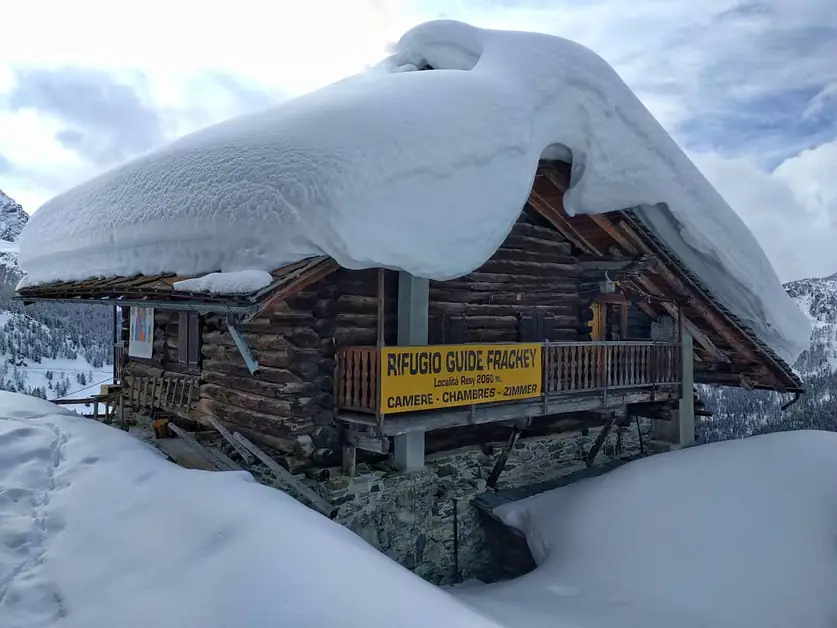
The Pellaud Lakes are located in the heart of the Rhêmes Valley, within the Gran Paradiso National Park. The starting point of the route is from the Chanavey hamlet, in the municipality of Rhêmes-Notre-Dame, right next to the Boule de Neige Hotel. From here begins a short but suggestive hike that allows you to discover natural corners and typical villages of the valley.
How long does the snowshoe hike to the Pellaud Lakes take and what elevation gain is involved?
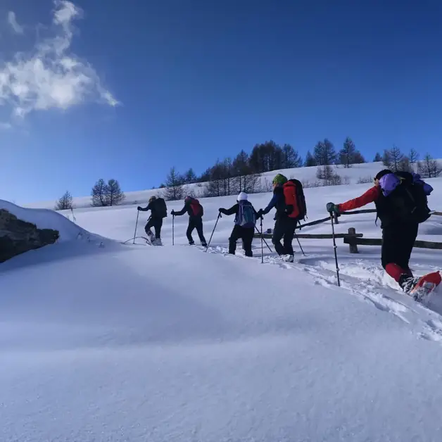
The snowshoe hike is suitable for everyone, even for those who are new to the mountains: Arrival altitude: 1870 meters Elevation gain: about 147 meters Climbing time: 1 hour and 30 minutes Departure: Chanavey (Rhêmes-Notre-Dame) The trail is simple and well-marked, but it is important not to walk on the cross-country ski track that runs alongside in various points of the route.
How does the trail to the Pellaud Lakes develop?
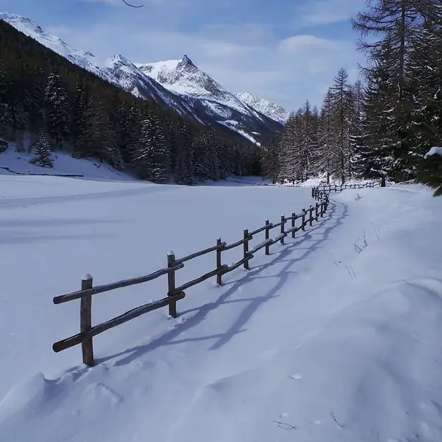
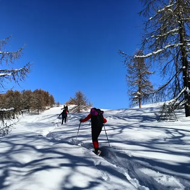
From the Chanavey parking lot, you cross the bridge over the stream and follow the path that, for long stretches, runs alongside the ski track. The route crosses very different natural environments: larch and alder forests, stretches along the stream, and villages like Oreiller and Bruil, restored in accordance with Aosta Valley architecture. In Bruil, there is the headquarters of the Gran Paradiso Park guards, from which guided excursions often start. After Bruil, the trail continues along the Dora di Rhêmes, between small bridges and steps, until you reach the Pellaud Lakes, immersed in a secluded and bright forest.
What can you see at the Pellaud Lakes?
The Pellaud Lakes are two small bodies of water surrounded by ancient fir and larch trees. In the lower lake, red frogs and trout thrive, thanks to the cold and clear water maintained by the shade of the forest. In the surroundings, you can observe squirrels, tits, woodpeckers, and martens, which find refuge among the branches and trunks. In the upper lake, there is also the old hydroelectric plant of Pellaud, one of the oldest in the valley, still bearing the date of construction engraved on the architrave.
How do you return from Pellaud to Chanavey?
The return can be made along the same path as the outward journey or along the traffic-free road, which in winter is not cleared of snow. This stretch is particularly interesting for wildlife lovers: on the east-facing slope, it is possible to spot ibex, especially in spring when the snow melts faster. Between Bruil and Chanavey, the vertical rock walls are often frequented by these majestic alpine animals.
What places are worth visiting along the Pellaud Lakes route?
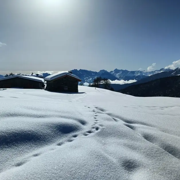
During the hike, you encounter several points of cultural and natural interest: Visitor Center of the Gran Paradiso National Park in Rhêmes-Notre-Dame. The villages of Oreiller, Bruil, Chaudanne, Pont, and Pellaud, with beautiful stone and wooden houses. The dairy of Bruil, where you can buy local products. The oven and mill of Chaudanne, testimonies of traditional alpine life. The old hydroelectric plant of Pellaud, still well preserved.
What can you do after the snowshoe hike to the Pellaud Lakes?
After the hike, you can visit the Park Visitor Center to discover local flora and fauna or relax in one of the typical restaurants in Rhêmes-Notre-Dame, where you can taste polenta concia, fontina, and local cured meats. Those who wish to extend the day can explore other nearby itineraries, such as the one to the Entrelor Pastures, a panoramic and wild destination.
Where are the Entrelor Pastures and how do you reach them?
The Entrelor Pastures are located higher up, at 2142 meters, still in the Rhêmes Valley. The departure is from the square of Rhêmes-Notre-Dame, in front of the church. Elevation gain: 420 meters Climbing time: about 2 hours The route crosses a landscape shaped by Quaternary glaciers, a true manual of natural geology.
How does the route to Alpe Entrelor develop?
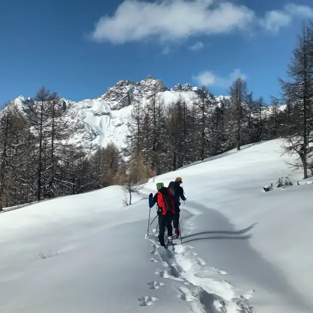
From the center of the village, you take the road that descends to the bridge over the Dora di Rhêmes. After the statue of the Bearded Vulture, in front of the park guards' headquarters, you turn right and briefly follow the ski track. From here, you take the dirt road that climbs towards the recently renovated Pré du Bois pasture. You then enter the forest, following the summer trail that rises among larches and Swiss stone pines until reaching an irrigation channel and then continues flat on the right. Before a large boulder, you turn left and tackle a steeper ascent, which quickly leads to the wooden cross at the entrance of the valley.
What can you admire from the Entrelor Pastures?
From this panoramic point, a grand view opens up over Granta Parey, Grande Rousse (3607 m), and the summit of Entrelor. The landscape is characterized by forests of firs, larches, and Swiss stone pines, with an undergrowth of blueberries and rhododendrons. This area is an ideal habitat for mountain pheasants, variable hares, and nutcrackers, which populate the north-facing slopes.
How do you return from the Entrelor Pastures to Rhêmes-Notre-Dame?
The return can be made along the same route or deviate towards Broillat, Chaudanne, and Pellaud, to then return to the starting point. This way, you complete a panoramic loop that combines nature, historic villages, and glacial landscapes.
What can you do after the snowshoe hike at Entrelor?
After the climb, you can visit the village of Bruil with its dairy or stop at a farmhouse to taste local products. Alternatively, you can continue towards Lake Pellaud or engage in phototrekking in the surroundings of the Gran Paradiso Park. For those who want to experience it even more fully, it is recommended to participate in an excursion with an official Park Guide, who accompanies visitors through snowy landscapes, wildlife, and hidden corners of the Rhêmes Valley.