Lago di Morasco Loop: route, duration and elevation gain
From Riale, the Lago di Morasco loop is 8.5 km long, with 150 m of elevation gain and about 3 hours of walking. The recommended period is from May to October
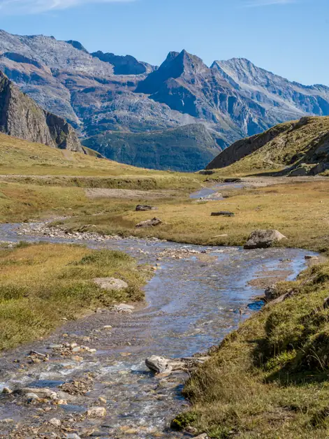
Who says summer hiking has to mean suffering in the heat? We found the answer in Riale, in upper Val Formazza, on the Lago di Morasco loop: 8.5 kilometers of walking in pleasant temperatures, even in summer.
The loop along the lakeshore is relaxing, cool and refreshing.
The route starts and ends at the parking areas below the dam, at an altitude of 1,747 meters. Its highest point is on the southern shore, at about 1,850 meters; its lowest is in Riale, at 1,734 meters.
The route has a total elevation gain of about 150 meters. Allow about 3 hours of walking, not counting stops.
The route alternates between trails, paved roads and unpaved tracks. Follow the red-and-white G00 signs. There are several fountains in Riale where you can refill your water bottle.
The recommended time for this walk is from May to October. From November to April, the route is used as a cross-country ski trail.
How to get there
Lago di Morasco is about 50 km from Domodossola. To get there by car, head toward Crodo, then continue through Valle Formazza to Riale, where the SS659 state road ends.
There are car parks and a campervan area below the dam, both paid.
You can also get there by bus on the Domodossola-Formazza route. In July and August, the bus stops at Riale; in other seasons, the service ends at Ponte di Formazza. For bus information, visit comazzibus.com.
Route
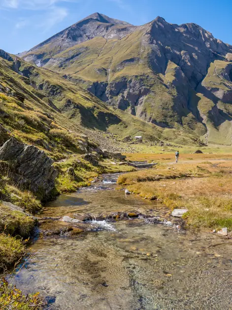
The walk starts on the Riale plain. Riale is a hamlet of Formazza and the northernmost in Piemonte. From the large paid parking area beside the camper area, take the paved road on the right. It climbs toward the dam, following the sign for "G00 Lago Ghig".
The climb is gradual. At the dam, continue along the flat dirt road beside the lake, keeping the water on your left. Where the reservoir narrows, you'll come to a metal walkway, but it isn't accessible: dam staff use it as a crossing in winter.
Continue along the dirt road. A little farther on, leave the G00 road and take a path downhill to the left, toward the bridge over the rio Gries. After crossing the bridge, the path climbs to the power station buildings. From there, it levels out and becomes a pleasant mule track.
With a few gentle ups and downs, the mule track follows the western and southern sides of the lake and brings you back to the dam. Beyond the dam, descend gradually along the dirt road, passing several alpine pastures where Bettelmatt cheese is made. The road then becomes paved and leads to a mountain hut. From there, follow the paved road back to the parking area.
Perhaps the hardest part of the trip is getting to Riale by car, along a winding mountain road. There is no train station.
But it's worth it. I don't remember this hike for the effort, but for the scenery and the Bettelmatt cheese, made right here in the area's alpine pastures. And it's fantastic!